3D Laser Scanning

Specialized Reality Capture Services

We deliver advanced reality capture solutions using 3D laser scanning, UAV mapping, mobile mapping, and geospatial technologies. Our accurate spatial data helps improve planning, reduce risk, and support efficient decision-making across mining, industrial, construction, and infrastructure projects.

3d laser scanning services we offer

Scan to CAD

Convert point cloud data into precise engineering and manufacturing drawings.

Scan to BIM

Create intelligent BIM models from existing buildings and infrastructure.

P&ID Redlining

Update plant documentation and piping layouts using verified scan data.

Progress Monitoring

Track construction progress with accurate time-based spatial comparisons.

Quantity Take-Offs

Extract accurate material quantities directly from digital models.

Condition Assessments

Evaluate structural integrity and identify maintenance requirements.

Urban Mobile Mapping

Capture large-scale roadway and city infrastructure data efficiently.

Road Surface Analysis

Identify surface defects and pavement conditions for rehabilitation planning.

Railway Scanning

High-precision rail corridor mapping and infrastructure inspection.

Clash Detection

Detect design conflicts before construction to reduce costly rework.

Reverse Engineering

Recreate existing components and assets into usable CAD models.

Construction Verification

Ensure installed works align with approved design specifications.

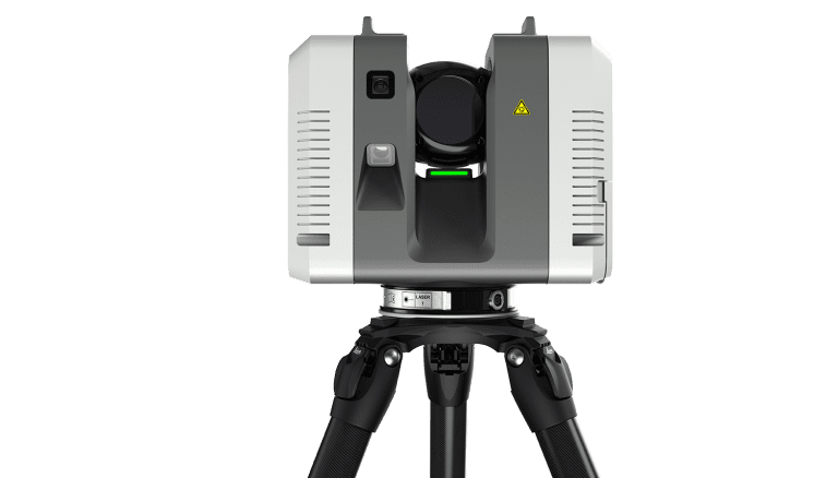
High-Speed 3D Laser Scanning

Capture highly accurate as-built conditions, industrial facilities, structures, and construction environments using millimetre-accurate LiDAR scanning technology.

• Scan to CAD
• Scan to BIM
• As-Built Verification
• Clash Detection
• Reverse Engineering
• Construction Validation
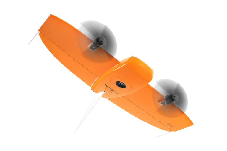
UAV Aerial Mapping & Surveying

Rapid aerial data acquisition for large-scale terrain, mining, infrastructure, and construction projects using drone photogrammetry and aerial LiDAR workflows.

• Topographic Mapping
• Orthophoto Generation
• Stockpile Volumes
• Progress Monitoring
• Corridor Mapping
• Infrastructure Inspection
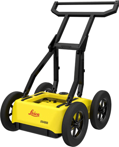
Ground Penetrating Radar (GPR)

Non-invasive underground utility detection and subsurface investigations for safer excavation, infrastructure planning, and asset verification.

• Underground Utility Detection
• Concrete Scanning
• Void Detection
• Underground Mapping
• Asset Verification
• Subsurface Investigation

Precision Reality Capture & Spatial Data

Using industry-leading hardware and reality capture workflows, we deliver accurate spatial data above and below ground — helping clients reduce risk, improve planning, and accelerate project delivery.

Start your journey to smarter, data-driven asset management

Choosing AssetQore means investing in precision, innovation, and results. Whether you’re modernizing infrastructure, preserving history, or creating digital twins, our expertise ensures your project’s success.