Digital Solutions
Digital Twin Development & Implementation
We create end-to-end digital twin solutions that transform physical assets into intelligent, data-driven ecosystems. By delivering real-time operational insights, predictive analytics, and performance optimization, we empower clients to enhance efficiency, resilience, and sustainability, turning asset management from a reactive process into a strategic advantage.
- Asset Digitization
- Real-Time Monitoring
- Data Integration
- Performance Analytics
- Predictive Maintenance
- Remote Access
- Lifecycle Management

Building Information Modelling (BIM)
Our BIM solutions produce precise, data-rich digital models that form the backbone of smarter decision-making. By providing validated representations of built environments, we enable seamless collaboration across design, construction, and operations, reducing risk, improving efficiency, and maximizing lifecycle value.
- 3D Model Development
- Clash Detection
- Design Visualization
- Quantity Extraction
- Team Collaboration
- 4D Scheduling
- As-Built Models

3D Laser Scanning & Mobile Mapping
We provide high-definition laser scanning and mobile mapping services that capture exact as-built conditions. This accurate digital baseline supports confident planning, construction validation, and integration into digital twin platforms, reducing errors, saving time, and ensuring project certainty.
- 3D Laser Scanning
- Scan Registration
- Condition Assessments
- Tunnel Extraction
- Urban Mobile Mapping
- Road Surface Analysis
- Railway scanning
Advanced Reality Capture Technology
Precision scanning solutions for fast, accurate, and reliable project data
We utilize industry-leading Leica reality capture technology to deliver highly accurate spatial data for projects of any scale. The Leica BLK360 Gen 2 and RTC360 laser scanners capture detailed 3D point clouds and immersive imagery, enabling rapid site documentation, precise measurements, and reliable as-built models. With ultra-fast scanning speeds and automated workflows, we reduce time on site while ensuring exceptional data quality.
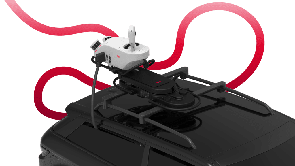
For large-scale infrastructure and corridor mapping, the Leica TRK500 mobile mapping system provides high-speed data capture using advanced LiDAR and imaging technology. This allows us to efficiently scan roads, facilities, and extensive environments while maintaining survey-grade accuracy. Combined, these technologies support better planning, improved design coordination, and smarter decision-making throughout the project lifecycle.
The Advanced Reality Capture Technology We Use
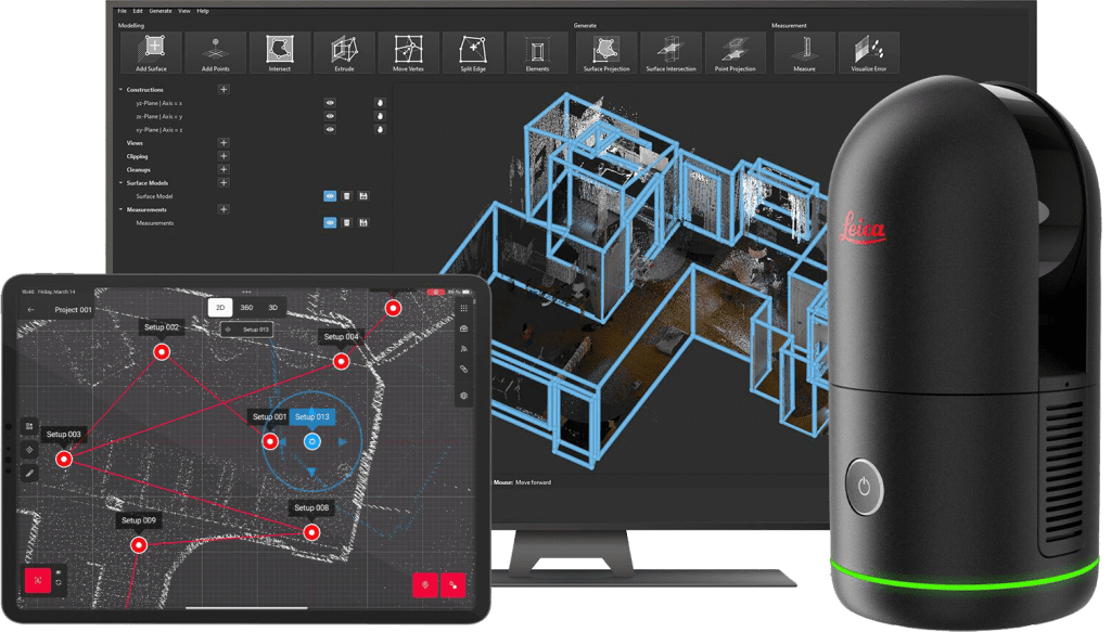
Leica BLK360 Gen 2
The Leica BLK360 Gen 2 is a compact, high-speed laser scanner designed for rapid and accurate reality capture. It collects detailed 3D point clouds and panoramic imagery, making it ideal for indoor spaces, building documentation, and small to medium project sites. Its portability and fast workflow allow us to capture reliable data quickly with minimal disruption.
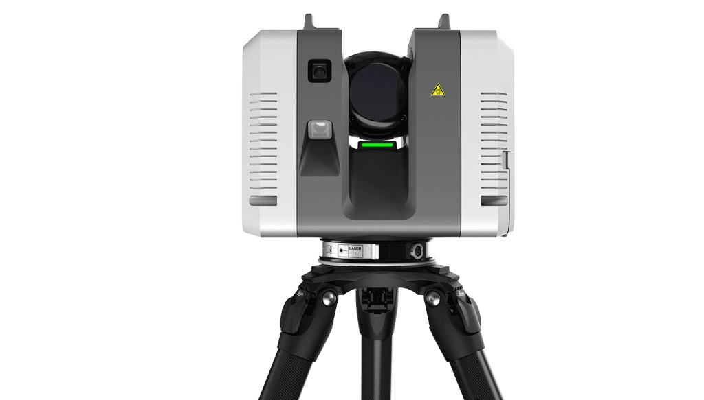
Leica RTC360
The Leica RTC360 delivers ultra-fast, high-accuracy laser scanning for complex and large-scale environments. With automated field registration and advanced imaging, it significantly reduces time on site while ensuring precise alignment of scan data. This technology is ideal for industrial facilities, construction sites, and detailed as-built documentation.

Leica TRK500
The Leica TRK500 is a mobile mapping system that captures large areas efficiently using high-speed LiDAR and imaging while mounted on a vehicle. It is ideal for roads, infrastructure corridors, and extensive outdoor environments where traditional scanning would be time-consuming. The system enables rapid data collection while maintaining survey-grade accuracy for planning, analysis, and asset management.

Leica DS4000 GPR
Beneath the ground lies a tangled network of cables and pipes. As urban spaces – and the ground beneath them – grow more congested, advanced underground detection systems have become essential for reducing risk before breaking ground.

Leica BLKGO
The BLK2GO handheld imaging laser scanner recreates spaces in 3D as you move. It captures images and dimensionally accurate point clouds in real-time and uses SLAM technology to record your trajectory through space.

WingtraOne Gen 2
WingtraOne flies longer and covers more than multicopters. Fewer flights and relocations mean faster surveys and quicker project delivery. And its faster setup gets you back in the air without delays between projects.
Drone Surveying
We use a mapping drone for fast and accurate surveying data every time.